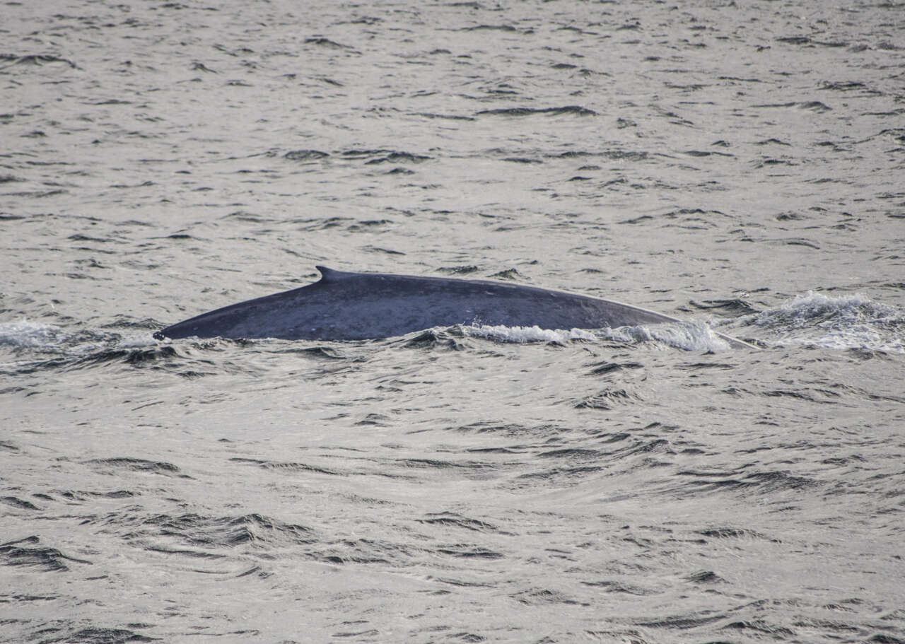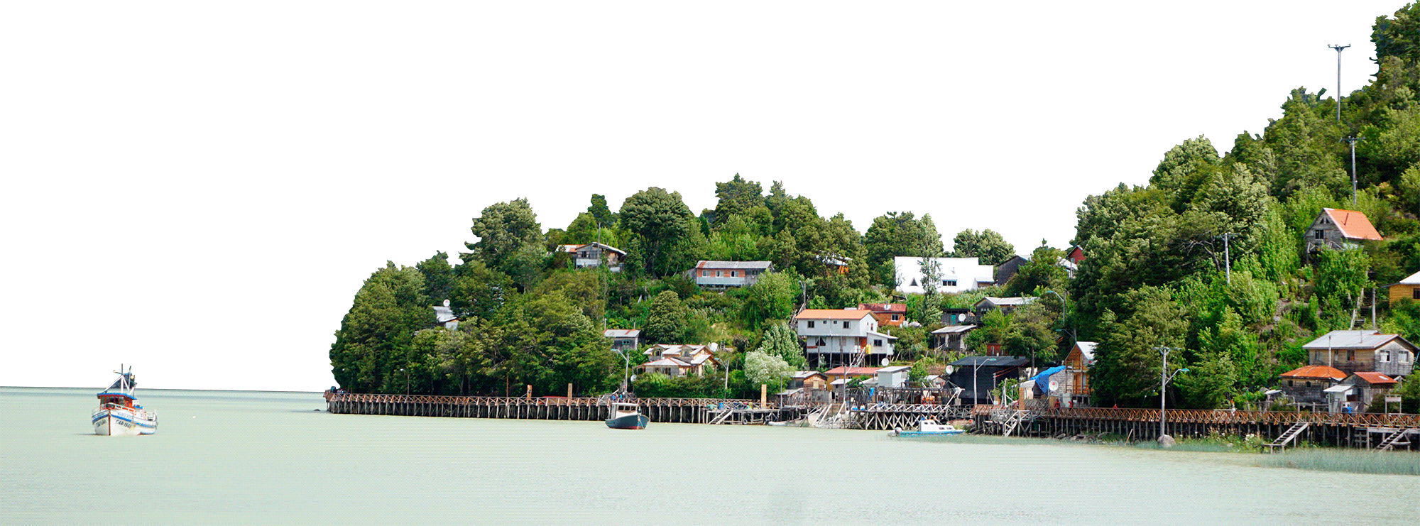


Defining priority areas and risk evaluation is of utmost relevance for endangered species` conservation. For the blue whale (Balaenoptera musculus), we aim to assess environmental habitat selection drivers, priority areas for conservation and overlap with vessel traffic off northern Chilean Patagonia (NCP). For this, we implemented a single-step continuous-time correlated-random-walk model which accommodates observational error and movement parameters variation in relation to oceanographic variables. Spatially explicit predictions of whales’ behavioral responses were combined with density predictions from previous species distribution models (SDM) and vessel tracking data to estimate the relative probability of vessels encountering whales and identifying areas where interaction is likely to occur. These estimations were conducted independently for the aquaculture, transport, artisanal fishery, and industrial fishery fleets operating in NCP. Blue whale movement patterns strongly agreed with SDM results, reinforcing our knowledge regarding oceanographic habitat selection drivers. By combining movement and density modeling approaches we provide a stronger support for purported priority areas for blue whale conservation and how they overlap with the main vessel traffic corridor in the NCP. The aquaculture fleet was one order of magnitude larger than any other fleet, indicating it could play a decisive role in modulating potential negative vessel-whale interactions within NCP.


